Message agent
Get full report
Message agent
Get full report
 Available
 For Sale


Mouseprice is the only UK property site with a Value Guide. We have compared the asking price to our own Mouseprice valuation to help you make an informed decision when buying or renting your next property.
Excellent value
Good value
Market price
Below average value
Maybe overpriced
The Mouseprice Value Guide tells you how the asking price of a property compares to the market price of other properties with similar attributes including property type, location and floor area. Note that some aspects of a property are not considered by the Value Guide such as the condition and home improvements so it is important you do your own research.
| Data |
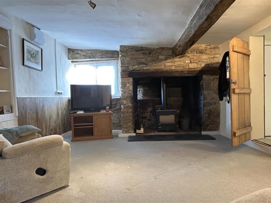
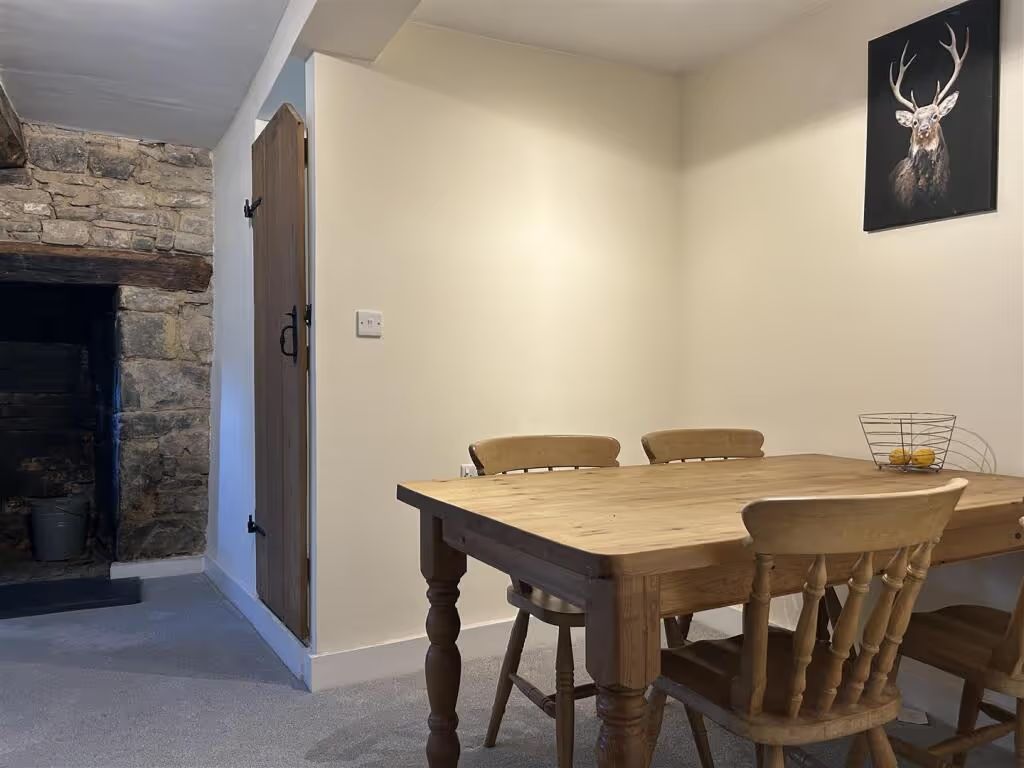
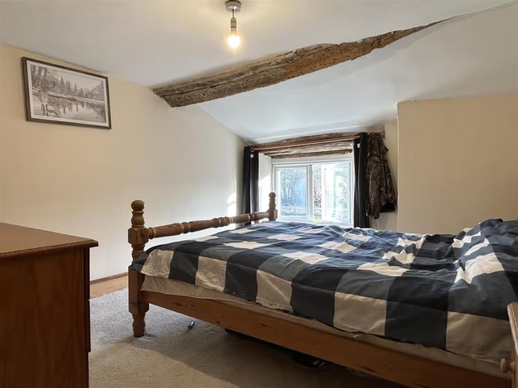
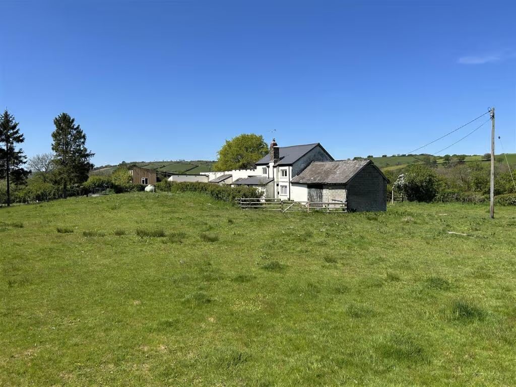
 3 beds
|
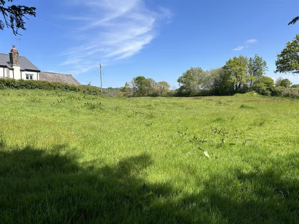
 Detached
|
 83 days on market
|
We show you the property behind the listing - a feature unique to Mouseprice. Even if the property is on other portals, always check Mouseprice for extra information.
| Data point | Compared to road |
 Tax band C
|